News Warner Logo

News Warner

NASA Tracks Snowmelt to Improve Water Management

NASA Tracks Snowmelt to Improve Water Management

  • NASA’s C-20A aircraft conducted seven research flights in March to track snowmelt and improve water management, using its Uninhabited Aerial Vehicle Synthetic Aperture Radar (UAVSAR) to collect data on seasonal snow cover and freshwater content.
  • The Dense UAVSAR Snow Time (DUST) mission mapped snow accumulation over the Sierra Nevada mountains in California and the Rocky Mountains in Idaho, providing valuable insights into the distribution of seasonal snow storage and subsequent runoff.
  • Researchers are using the DUST mission data to estimate the amount of water stored in snow and develop more accurate estimates of snow-to-water conversions and their timelines, which is crucial for managing reservoirs and predicting water availability.
  • The UAVSAR has been shown to be a reliable instrument for retrieving snow water equivalent (SWE) data, but previous methods have had limitations due to changing weather patterns and seasonal conditions in the American West.
  • The DUST mission aims to improve our understanding of these changes and develop more accurate models to predict snowpack monitoring and forecasts, ultimately helping to better manage water resources and mitigate the impacts of climate change.

3 min read

Preparations for Next Moonwalk Simulations Underway (and Underwater)
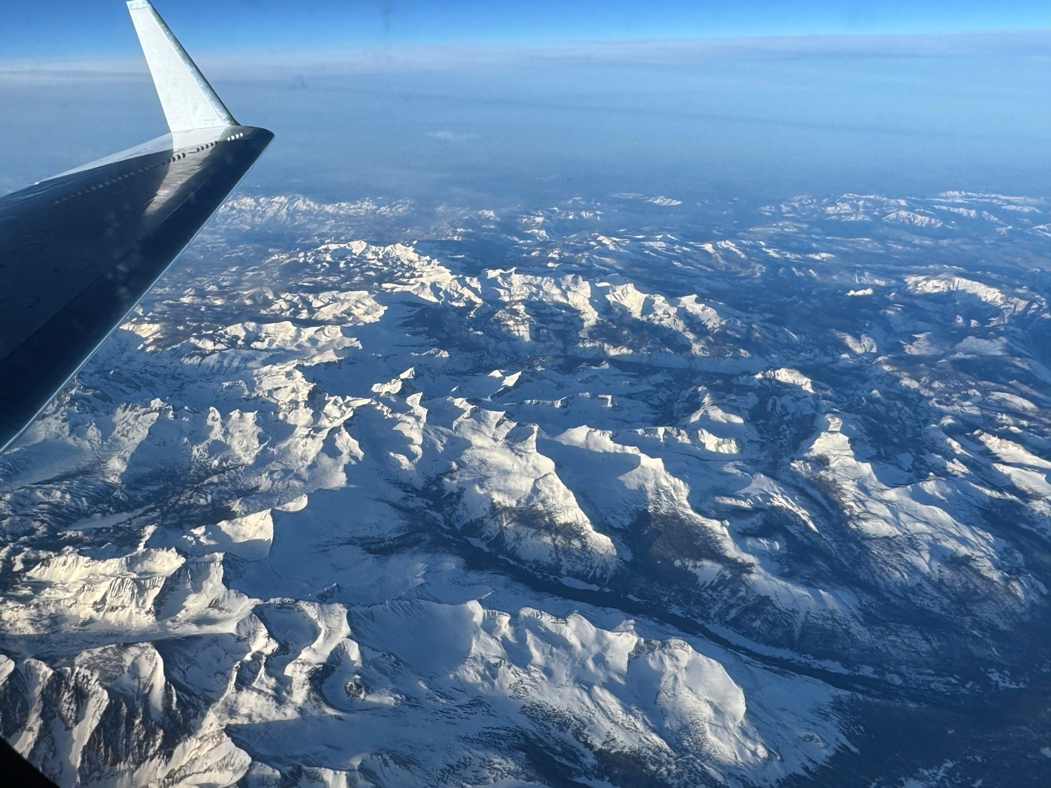
A snowy mountain range is seen below through a plane window. The plane’s wing is visible on the left side of the frame, and the sun casts light and shadows across the texture of the landscape. The horizon in the distance is hazy under a blue sky.
The C-20A aircraft, based at NASA’s Armstrong Flight Research Center in Edwards, California, flies over the Sierra Nevada Mountains in California for the Dense UAVSAR Snow Time (DUST) mission on Feb. 28, 2025. The DUST mission collected airborne data about snow water to help improve water management and reservoir systems on the ground.
NASA/Starr Ginn

As part of a science mission tracking one of Earth’s most precious resources – water – NASA’s C-20A aircraft conducted a series of seven research flights in March that can help researchers track the process and timeline as snow melts and transforms into a freshwater resource. The agency’s Uninhabited Aerial Vehicle Synthetic Aperture Radar (UAVSAR) installed on the aircraft collected measurements of seasonal snow cover and estimate the freshwater contained in it.

“Seasonal snow is a critical resource for drinking water, power generation, supporting multi-billion dollar agricultural and recreation industries,” said Starr Ginn, C-20A project manager at NASA’s Armstrong Flight Research Center in Edwards, California.  “Consequently, understanding the distribution of seasonal snow storage and subsequent runoff is essential.”

The Dense UAVSAR Snow Time (DUST) mission mapped snow accumulation over the Sierra Nevada mountains in California and the Rocky Mountains in Idaho. Mission scientists can use these observations to estimate the amount of water stored in that snow.
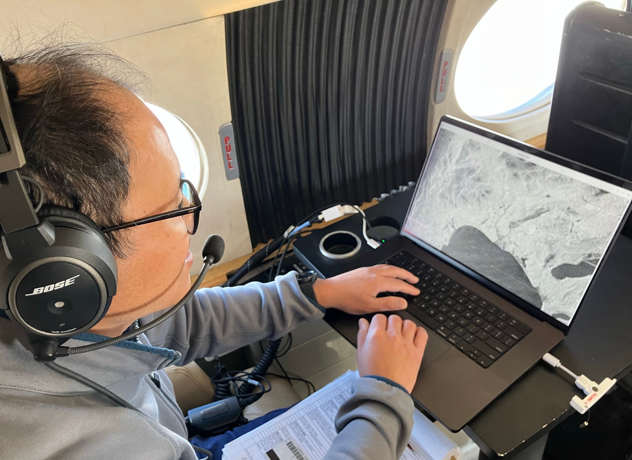
A man is seated onboard a plane wearing a headset as he views his open laptop monitor on his extended tray table. Displayed on the screen is a black and white graphic of a landscape, and his hands hover over the keyboard and mouse pad. He wears a gray jacket, and a stack of papers is partially visible in his lap. Cords and plugs extend from his laptop.
Peter Wu, radar operator from NASA’s Jet Propulsion Laboratory in Southern California, observes data collected during the Dense UAVSAR Snow Time (DUST) mission onboard NASA’s C-20A aircraft on Feb. 28, 2025. The C-20A flew from NASA’s Armstrong Flight Research Center in Edwards, California, over the Sierra Nevada Mountains to collect data about snow water.
NASA/Starr Ginn

“Until recently, defining the best method for accurately measuring snow water equivalent (SWE) – or how much and when fresh water is converted from snow – has been a challenge,” said Shadi Oveisgharan, principal investigator of DUST and scientist at NASA’s Jet Propulsion Laboratory in Southern California. “The UAVSAR has been shown to be a good instrument to retrieve SWE data.”

Recent research has shown that snow properties, weather patterns, and seasonal conditions in the American West have been shifting in recent decades. These changes have fundamentally altered previous expectations about snowpack monitoring and forecasts of snow runoff. The DUST mission aims to better track and understand those changes to develop more accurate estimates of snow-to-water conversions and their timelines.

“We are trying to find the optimum window during which to retrieve snow data,” Oveisgharan said. “This estimation will help us better estimate available fresh snow and manage our reservoirs better.”
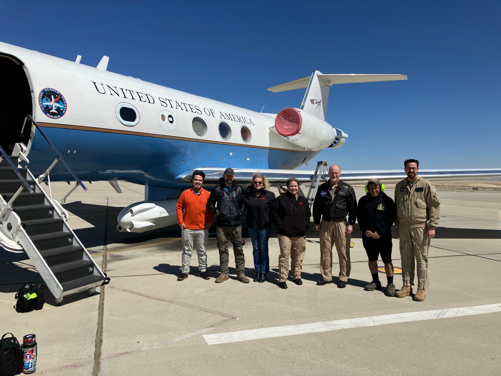
Seven people stand next to an aircraft on a cement tarmac. They are posing for a team photo. All but the nose of the aircraft is visible in the left half of the frame, with its entry stairwell extended open. All team members are wearing jackets, and the wind appears to be blowing against them. Three of the team members appear to be wearing flight suits beneath their jackets, and one person is wearing plastic earmuffs for hearing protection.
The Dense UAVSAR Snow Time (DUST) mission team assembles next to the C-20A aircraft at NASA’s Armstrong Flight Research Center in Edwards, California, on Feb. 28, 2025. From left, radar operator Adam Vaccaro, avionics lead Kelly Jellison, C-20A project manager Starr Ginn, pilot Carrie Worth, pilot Troy Asher, aircraft mechanic Eric Apikian, and operations engineer Ian Elkin.
NASA/Starr Ginn

The DUST mission achieved a new level of snow data accuracy, which is partly due to the specialized flight paths flown by the C-20A. The aircraft’s Platform Precision Autopilot (PPA) enables the team to fly very specific routes at exact altitudes, speeds, and angles so the UAVSAR can more precisely measure terrain changes.

“Imagine the rows made on grass by a lawn mower,” said Joe Piotrowski Jr., operations engineer for NASA Armstrong’s airborne science program. “The PPA system enables the C-20A to make those paths while measuring terrain changes down to the diameter of a centimeter.”

link

Q. What is NASA’s goal with its C-20A aircraft?
A. To track the process and timeline of snow melting and transform it into a freshwater resource.

Q. Why is understanding seasonal snow storage and subsequent runoff essential?
A. Because seasonal snow is a critical resource for drinking water, power generation, supporting multi-billion dollar agricultural and recreation industries.

Q. What was the main challenge in measuring snow water equivalent (SWE) until recently?
A. Defining the best method for accurately measuring SWE – or how much and when fresh water is converted from snow.

Q. Which NASA instrument has been shown to be a good tool for retrieving SWE data?
A. The Uninhabited Aerial Vehicle Synthetic Aperture Radar (UAVSAR).

Q. What changes have occurred in the American West regarding snow properties, weather patterns, and seasonal conditions?
A. Snow properties, weather patterns, and seasonal conditions in the American West have been shifting in recent decades.

Q. What is the main objective of the Dense UAVSAR Snow Time (DUST) mission?
A. To better track and understand changes in snowpack monitoring and forecasts of snow runoff to develop more accurate estimates of snow-to-water conversions and their timelines.

Q. How does the C-20A aircraft’s Platform Precision Autopilot (PPA) enable the team to collect data?
A. The PPA system enables the C-20A to fly very specific routes at exact altitudes, speeds, and angles so the UAVSAR can more precisely measure terrain changes.

Q. What is an example of the precision achieved by the PPA system?
A. The PPA system enables the C-20A to make paths on grass that are as narrow as a centimeter in diameter.

Q. Why is it important to estimate available fresh snow and manage reservoirs better?
A. To ensure accurate estimates of freshwater resources, which is essential for drinking water, power generation, agricultural, and recreation industries.